EXPLORE KOREA · 울산광역시
Ulsan
Green river paths in an industrial city
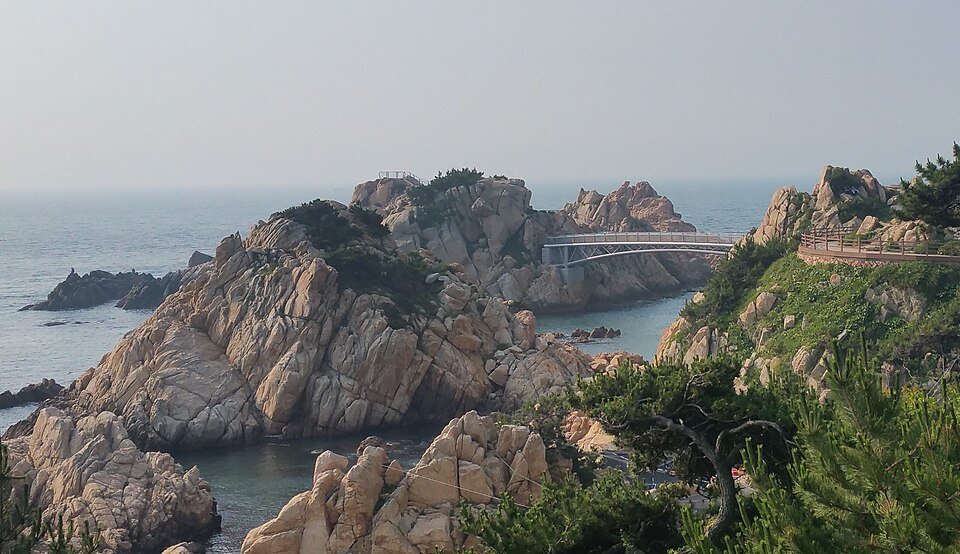
Photo: Daewangam Park, Ulsan by Shinfull — CC BY-SA 4.0. Resized; display crop varies by layout. Any adapted image is shared under the same license.

Find your starting point
Ulsan is worth considering for a calmer urban outing. Taehwagang National Garden and its bamboo-grove setting offer a different perspective on the city.
Start with a focused Taehwagang garden-and-river outing.
Selected region in deeper green. Choose any region to open its introduction. Generalized map adapted from Simplemaps; for travel orientation, not precise boundary or navigation use.
Choose the river or the coast first
| Your priority | Start with | Planning check |
|---|---|---|
| Garden and bamboo scenery | Taehwagang National Garden (태화강 국가정원) | Save the entrance and a manageable walking route, rather than a general river pin. |
| Pine trails and coastal views | Daewangam Park (대왕암공원) | Check the onward journey and conditions for the part of the park you intend to visit. |
A manageable first-day plan
Our suggestion is to begin with one of these areas, take a meal break nearby, and add a second stop only after checking the return journey. A short-looking distance on a regional map does not show the time spent waiting for a bus or reaching its stop. With limited daylight, choose the scenery you most want to see instead of combining both areas automatically.
Use the Korean place names above in your map app and save the entrance pin. Before leaving your accommodation, note your arrival station or terminal, the final return service you can use, and a taxi backup. Check the actual walking route for steps or uneven sections if anyone in your group has limited mobility.
For accessibility planning: Ulsan’s tourism office provides a barrier-free travel reference. Confirm the specific entrance, restroom and route with the attraction rather than assuming the whole park has the same access conditions.
Destination reference reviewed October 8, 2026: Ulsan’s official attraction guide. The day plan above is editorial guidance, not a timed transport itinerary.
Before you set off
Last checked: September 15, 2026. Official tourism reference. Route and pacing suggestions are Korea Pathbook editorial guidance; check live transport and attraction information before travelling. Region names follow the current tourism grouping; the map uses generalized source outlines.