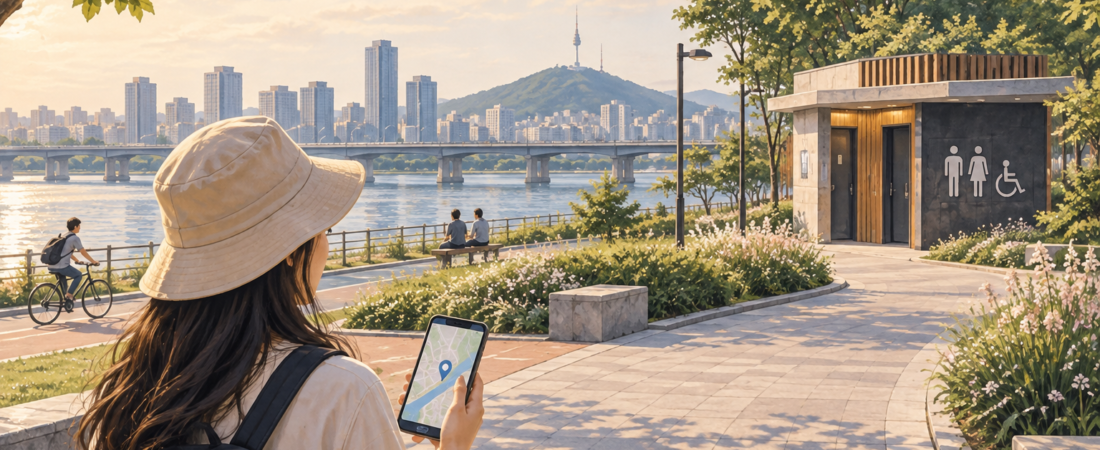
When you need a restroom in Seoul, the closest map pin is only the starting point. You also need to know how to reach the entrance, whether the building is open and whether the facilities suit your needs. This guide focuses on official map resources and a short search routine you can use while walking around the city.
Start with the map that fits your location
| Where you are | Useful official resource | What it helps you check |
|---|---|---|
| Hangang parks | Smart Seoul Map: Hangang Park Guide | Restroom locations alongside park facilities and access points |
| Bukchon | Official Bukchon walking map | Restroom symbols, accessible restroom symbols, slopes and neighborhood orientation |
| A subway station | Seoul’s public-transport app guidance | Station and restroom information; confirm the actual facility with station staff |
Seoul’s Hangang visitor guidance describes its park map as available without an app download or login. A saved PDF is useful for orientation, while a live map may offer more current information. Neither is a guarantee that a particular restroom is open at the moment you arrive.
The four-step search routine
- Search close to your actual position. Try the Korean terms below in your map app. If location access is unavailable, enter a nearby station, park or landmark manually.
- Open the place detail. Look for its exact building, floor, entrance and any posted hours. Compare a second nearby option before leaving a familiar area.
- Check the walking route. A pin across a road, behind a paid gate or on another level may take longer to reach than it looks.
- Confirm on arrival. Follow current signs or ask staff. In a station, ask before tapping through a fare gate solely to reach a restroom.
Korean words to search or show someone
| Meaning | Korean |
|---|---|
| Restroom | 화장실 |
| Public restroom | 공중화장실 |
| Restroom open to the public | 개방화장실 |
| Accessible restroom | 장애인 화장실 |
| Where is the nearest restroom? | 가장 가까운 화장실이 어디예요? |
| Is there a restroom outside the ticket gates? | 개찰구 밖에 화장실이 있나요? |
| Is it open now? | 지금 이용할 수 있나요? |
Worked example: Yeouido Hangang Park
Use 여의도한강공원 as the park name. The official access page lists Yeouinaru Station (여의나루역), Line 5, exits 2 and 3 for the central park area. Yeouido Station (여의도역) is a different station; choosing it by a similar English name changes your walk.
- Open the official Yeouido park introduction and select the facilities link labelled 여의도한강공원 시설 알아보기.
- Locate your arrival point before choosing a restroom symbol. Search 화장실 if the map offers a facility search.
- Save both the facility pin and the park exit you intend to use. Look for an actual entrance rather than assuming a nearby pin is reachable directly.
- For step-free access, ask about an elevator route separately; an exit number is not an accessibility guarantee.
The park introduction lists 24 toilets, but that count is not a promise that every facility is open. Temporary festival facilities and access restrictions should be checked separately. Official park pages checked September 28, 2026.
Choose your picnic spot after checking the facilities
Before choosing your picnic spot, open the park guide and find a restroom and the entrance you will use to leave. Save both pins. Our practical suggestion is to start your visit near facilities, then explore farther only after you understand the path. A late-evening return, heavy rain or a festival can change the convenient route; check the park’s notices and signs rather than relying on an old event map.
Accessibility and family needs
A wheelchair symbol alone does not tell you door width, turning space, transfer-side layout or whether the approach is step-free. If these details matter, ask the facility or visitor center before making it your only option. Similarly, a restroom listing does not establish that a changing table or family room is available. Search for the specific feature you need and keep a backup.
Common mistakes to avoid
Do not treat a cafe restroom as an unconditional public facility: ask about access. Do not assume a map’s straight-line distance reflects the walking route. And do not plan around temporary toilets shown on a past concert or festival map; event facilities may have been removed.
Sources and image notes
Official sources linked above were checked September 17, 2026. Map-reading steps and the picnic example are editorial suggestions.
Plan the next part of your trip
For the app setup and route search, follow our NAVER Map guide. Compare our Korea-wide restroom guide when traveling beyond Seoul, and use the accessible Seoul checklist when step-free approaches and restroom layouts matter.